Project Description
The seawall in Stanley Park offers a stark view of how climate change is affecting the area in all seasons - from intense heat, to air pollution from wildfires, to flood and erosion from more extreme precipitation and tides. This presents challenges for residents and visitors seeking to experience this popular site. It also challenges local birds who are particularly affected by pollution. This design aims to increase visibility and awareness of climate changes that are harder to see - particularly shifts in air quality, moisture, and temperature that are not readily visible.
This project was completed in Fall 2022 for the Introductory Landscape Architecture Studio at the University of British Columbia (UBC), with direction from Sara Jacobs, UBC Professor, and Tatiana Nozaki, HAPA Landscape Designer.
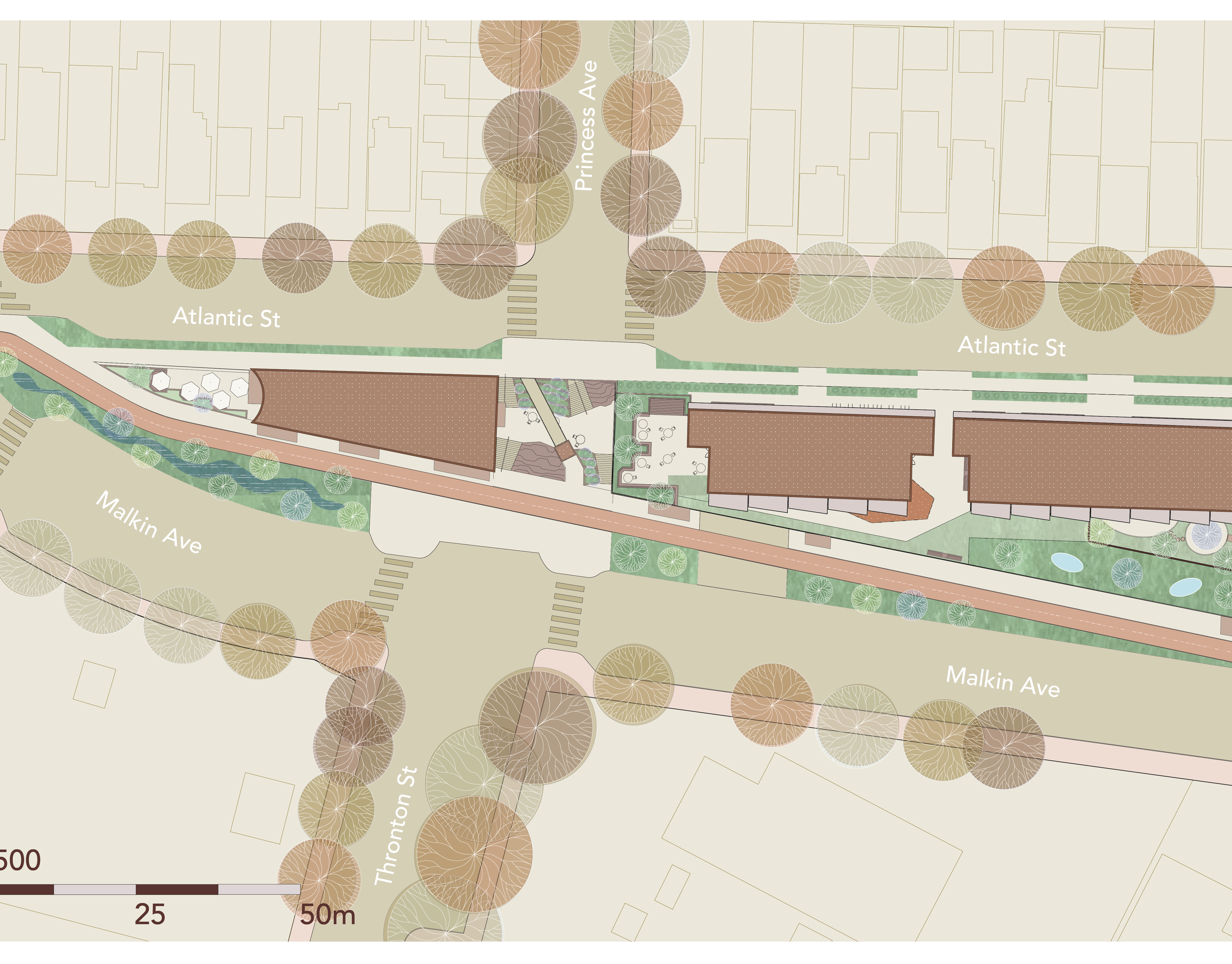
Site Plans and Sections
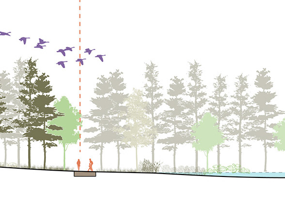
Site context and design intervention to remove a section of the sea wall and replace it with a descending rock path, encouraging users to slow down and interact with the fog net installations and tide pools, as well as offering a closer view of a proposed bull kelp forest.
Prospect Point Key Plan (Illustrator)
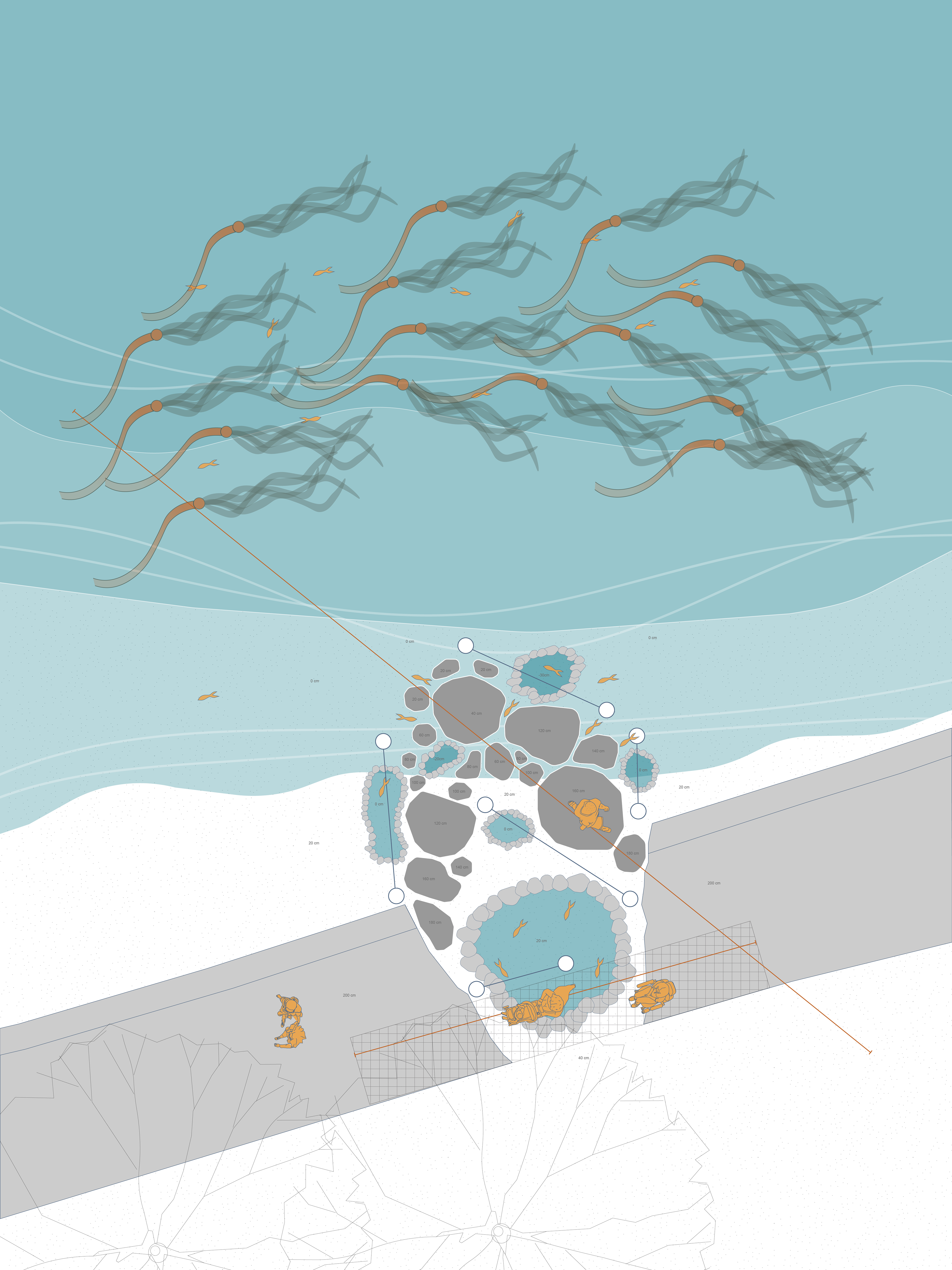
Site Intervention Plan (Illustrator)

Site Intervention Plan - Bridge for users on bikes and with mobility challenges (Illustrator)
Site Intervention Plan - Path descending into water (Illustrator)
Process Work

Concept Diagram (Adobe Illustrator)
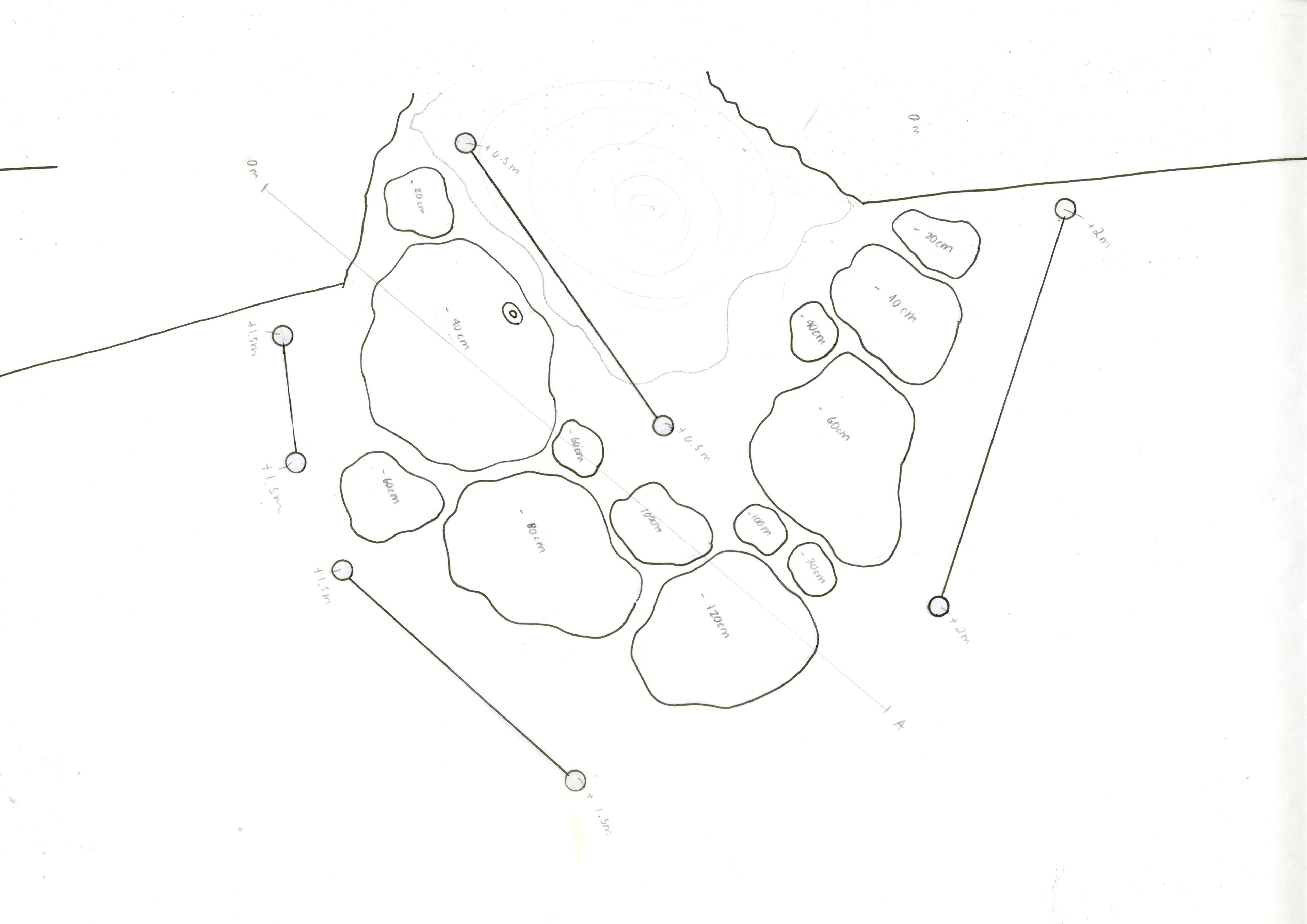
Plan Rough Sketch (Pencil)
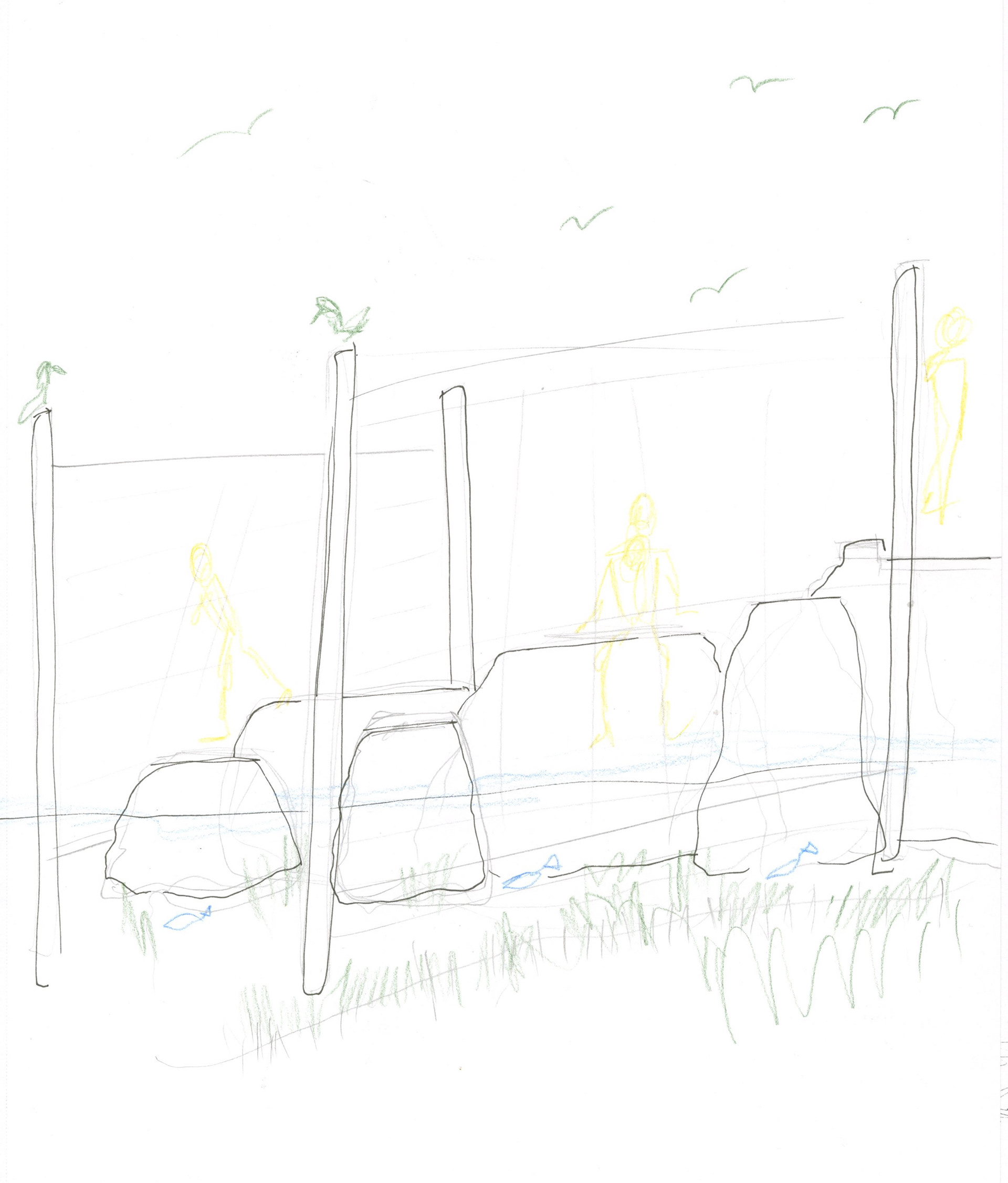
Section Rough Sketch (Pencil Crayons)
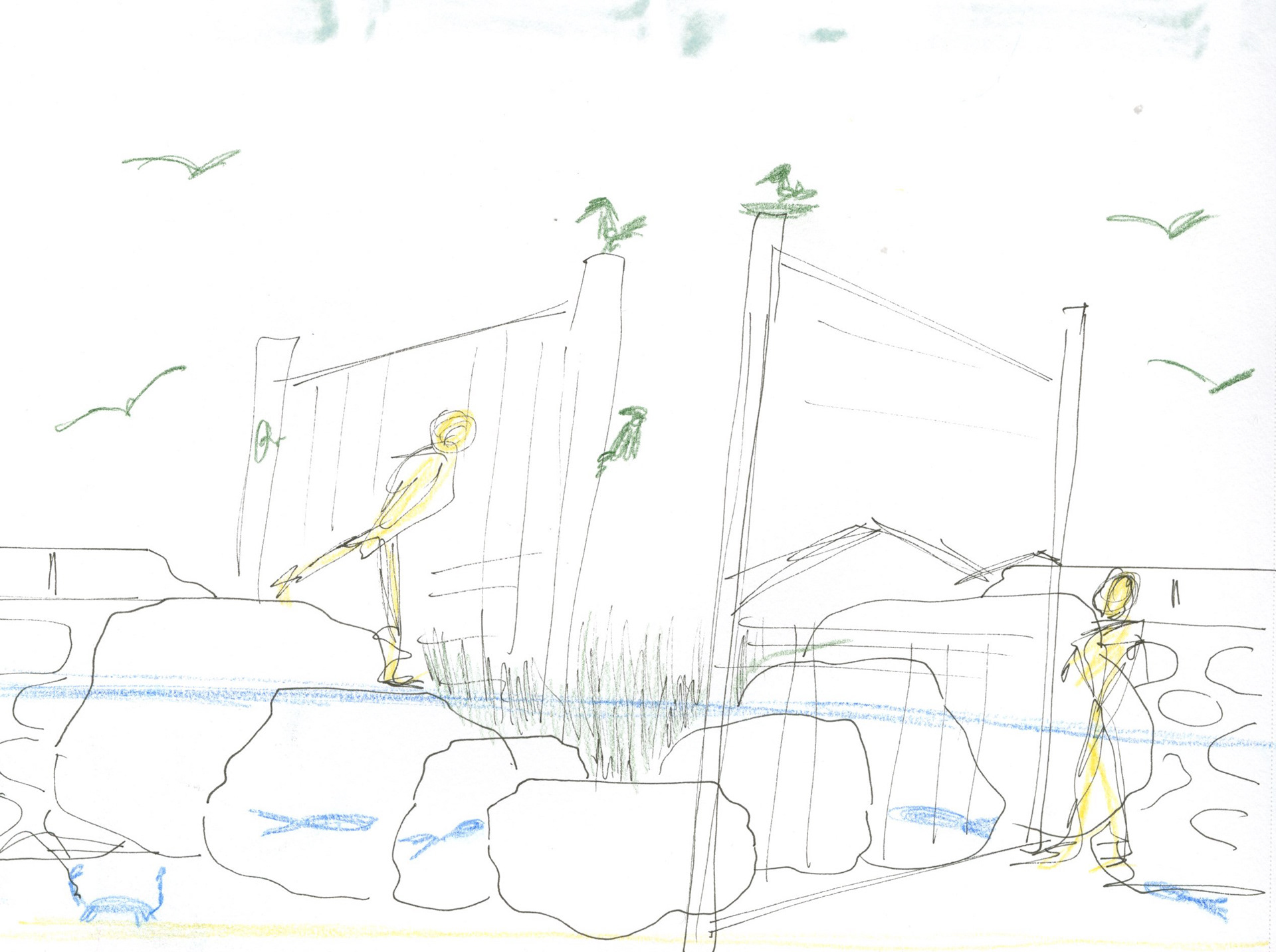
Section Rough Sketch (Pencil Crayons)

Concept Model - Studying fog nets (Dowels and string)
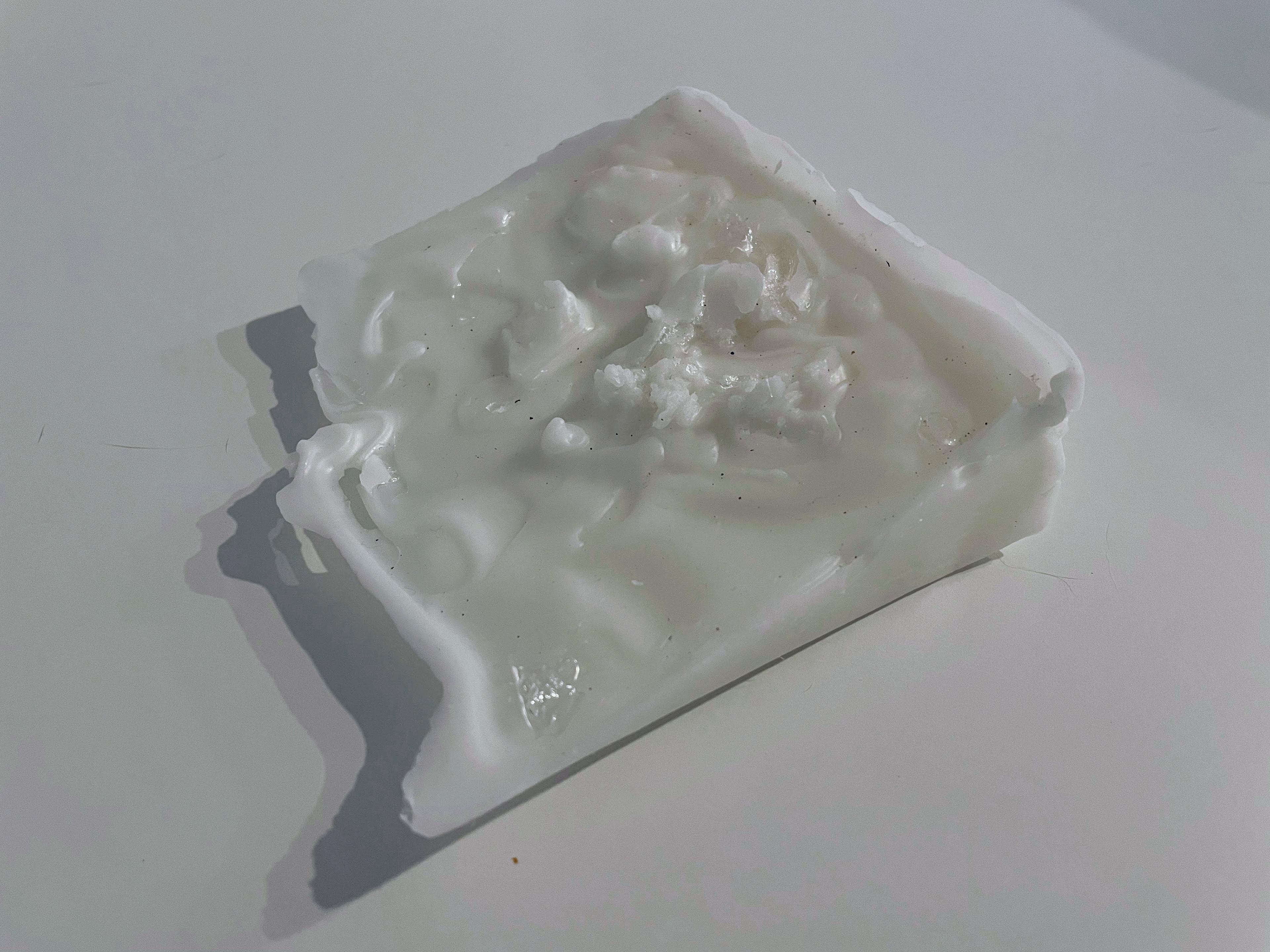
Concept Model - Studying water shaping topography (Wax and clear glue)
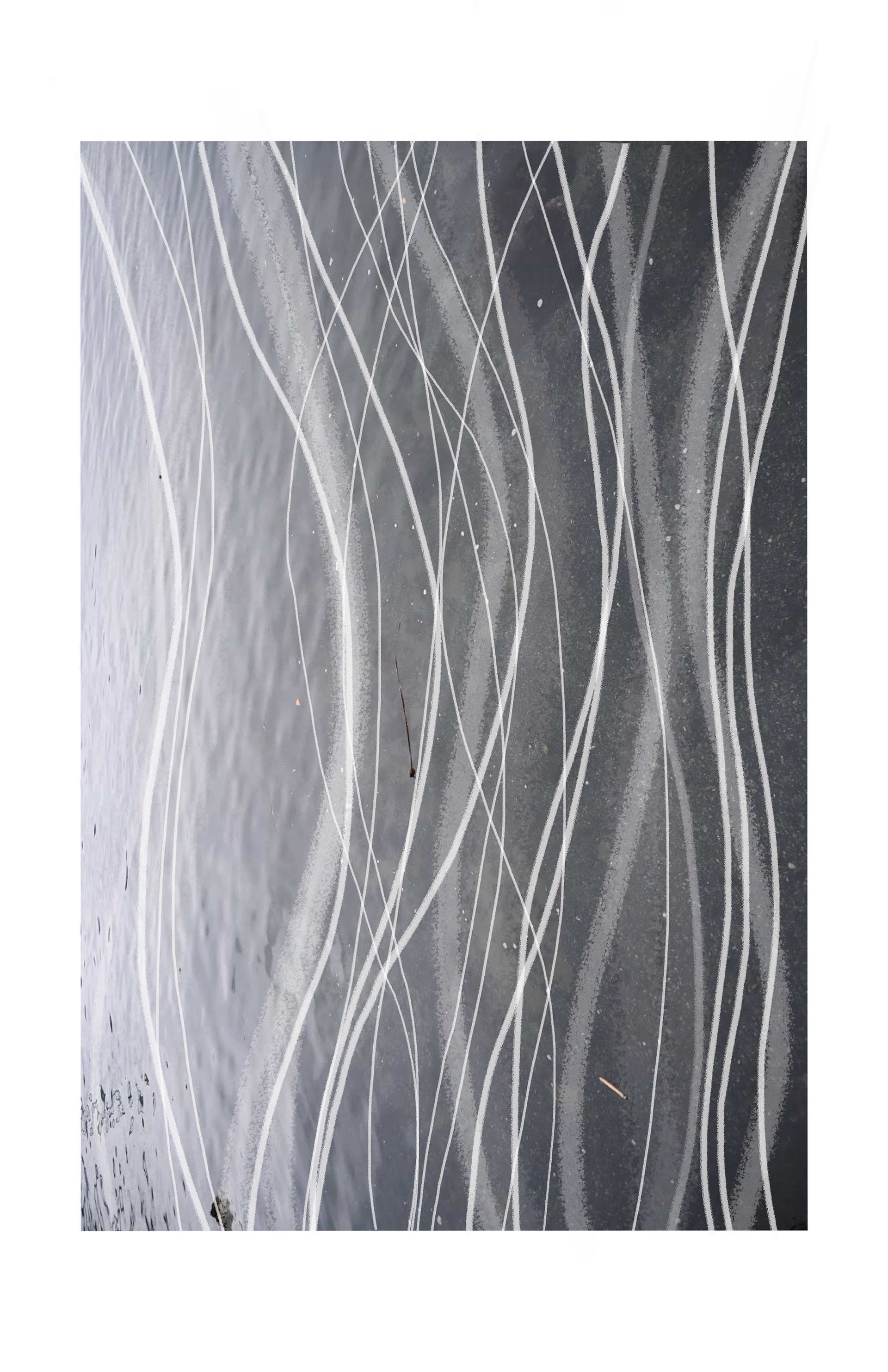
Ideogram studying water movement (Photoshop)
Site Intervention Model

SITE INTERVENTION MODEL (WOOD, STRING, CLAY, DOWELS)
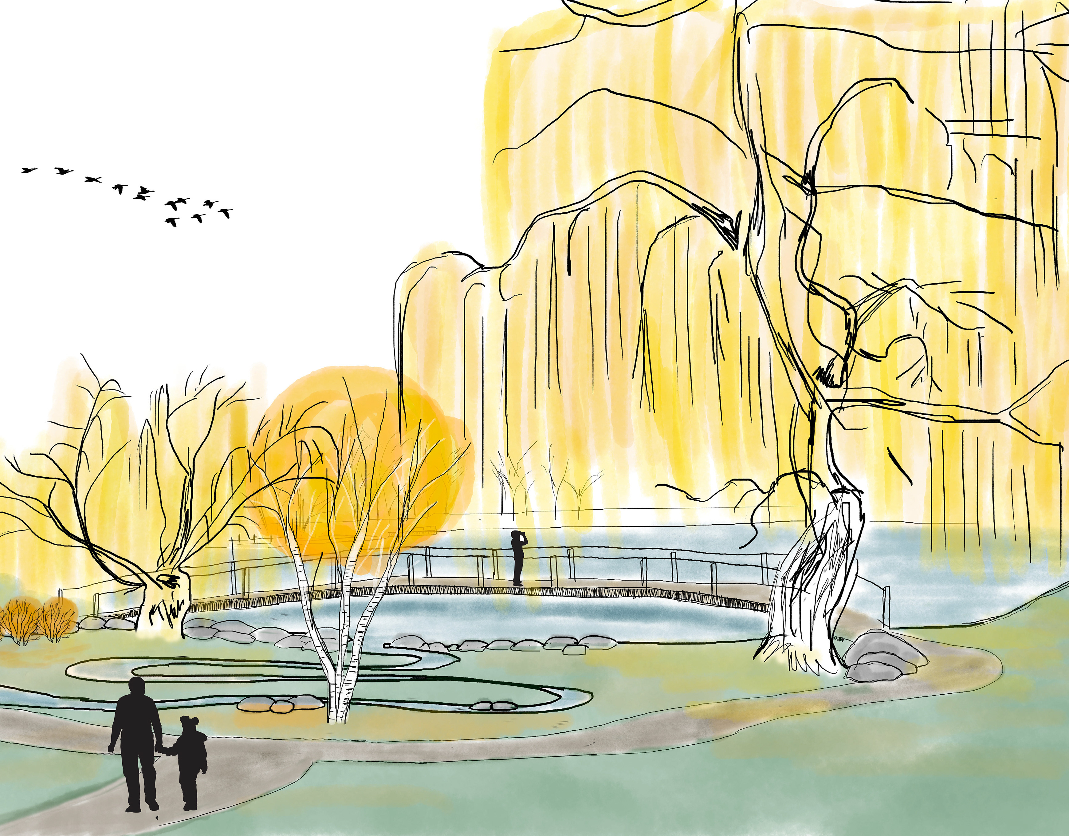
Visualizations
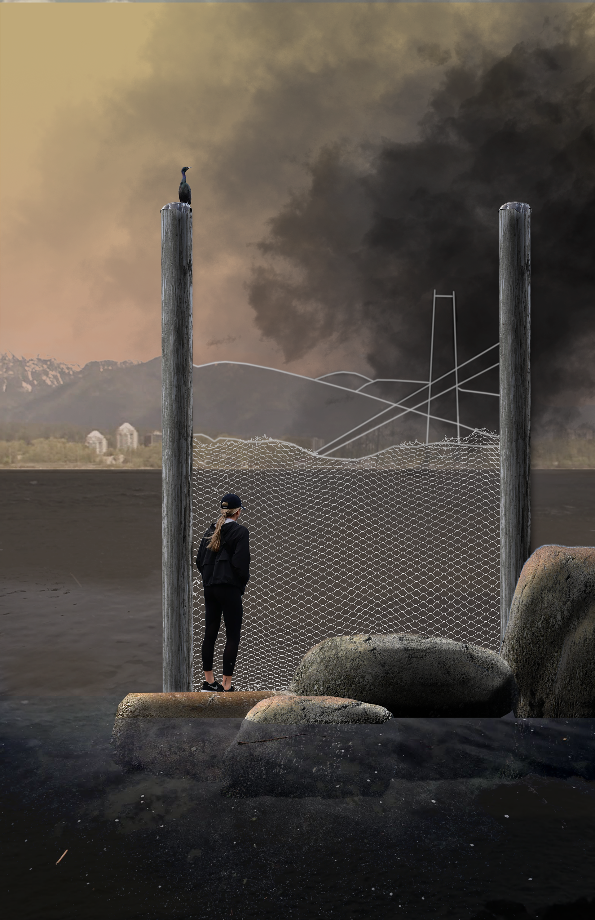
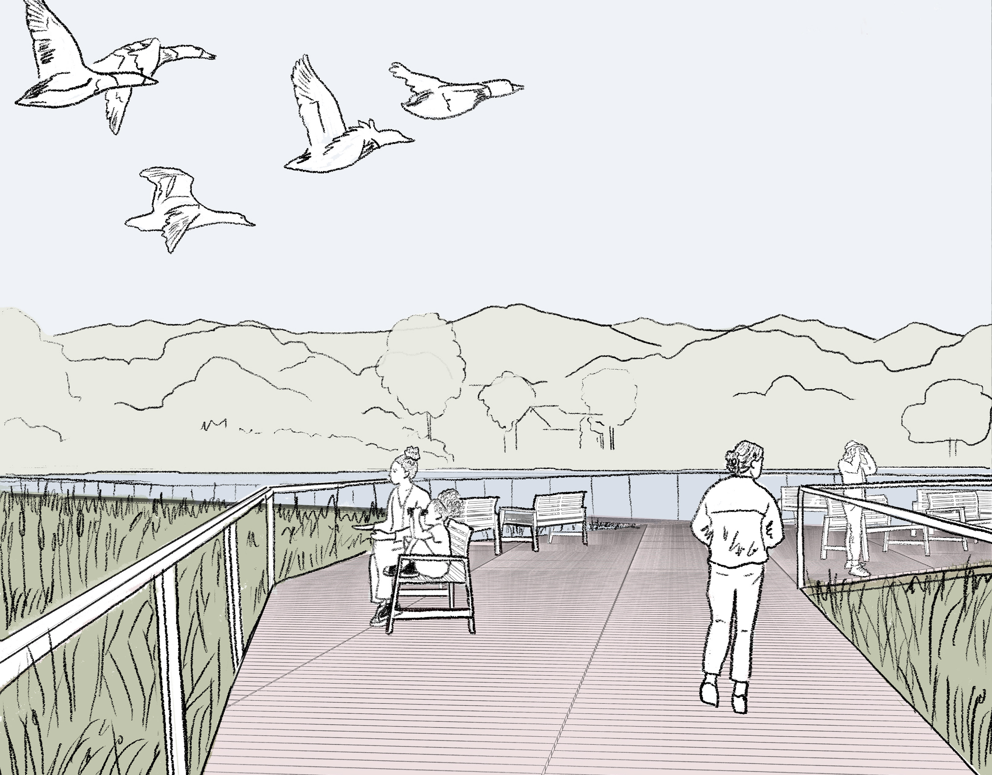
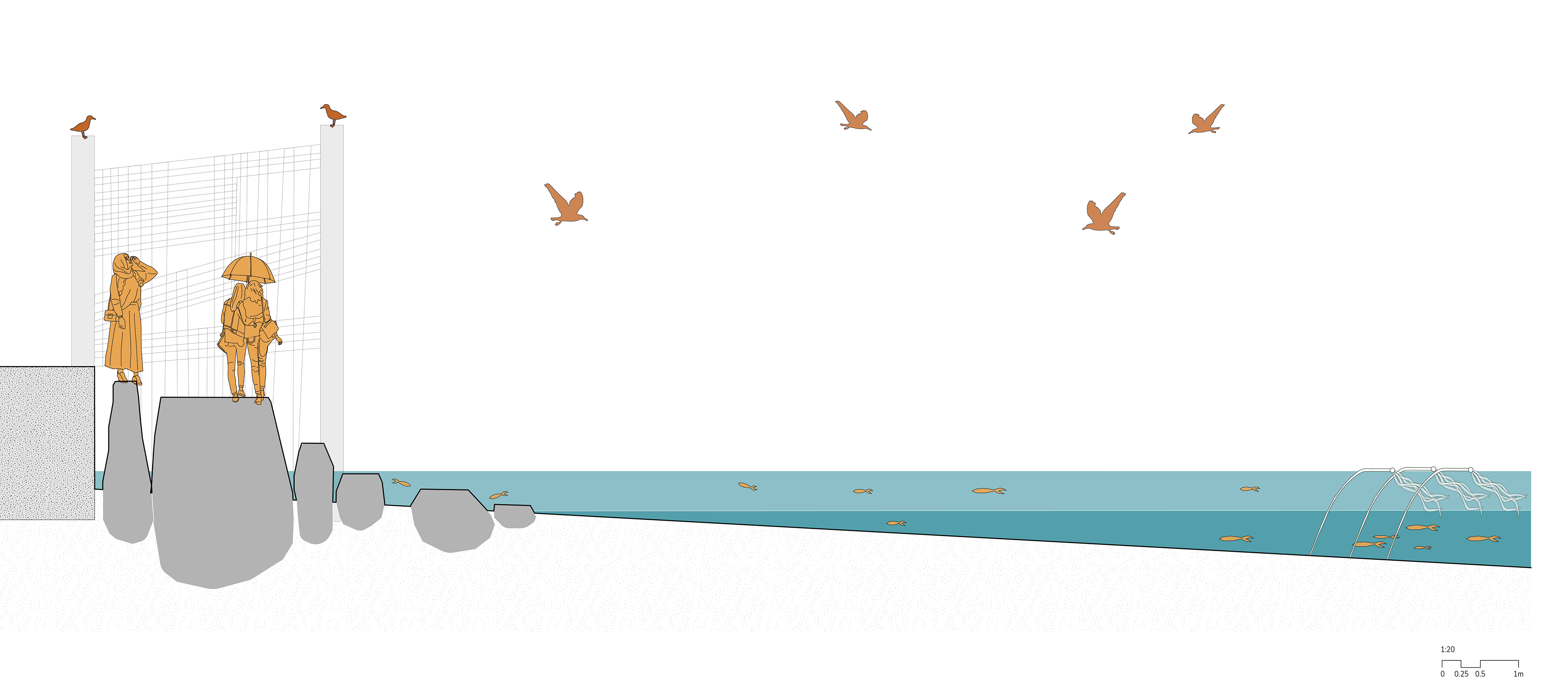
VISUALIZATION OF FOG NETS TO SHOWCASE AIR QUALITY OBSTRUCTED VIEWS DURING WILDFIRE SEASON (PHOTOSHOP)

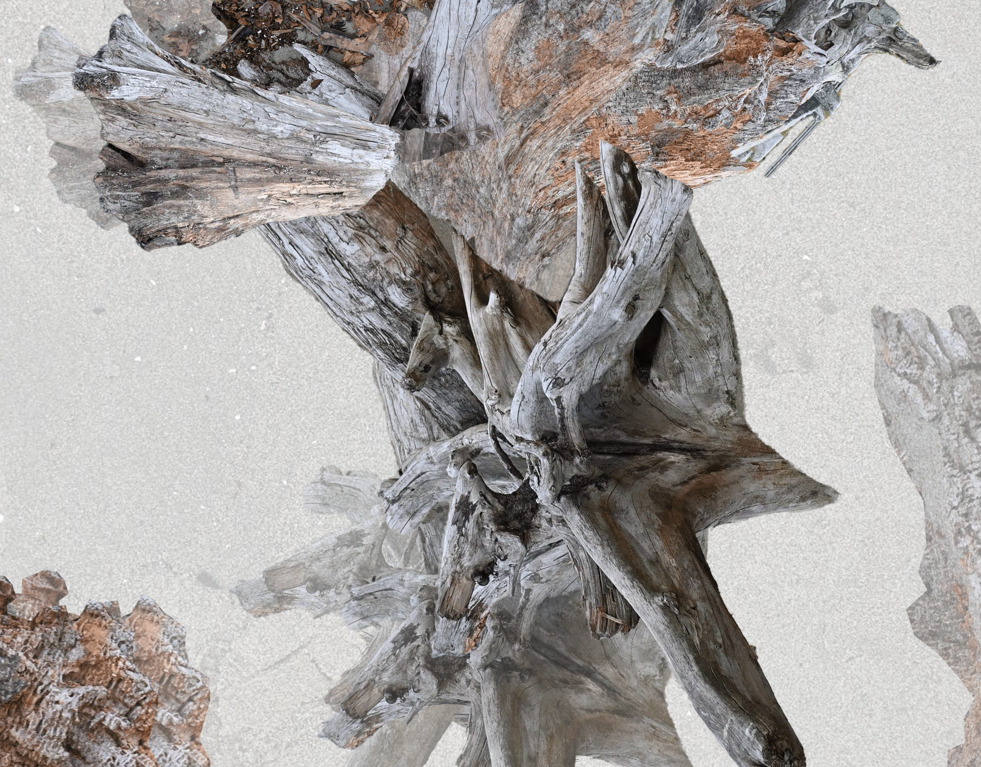
VISUALIZATION TO ILLUSTRATE THE FORMATION OF TIDE POOLS UNDER FOG NETS (PHOTOSHOP)
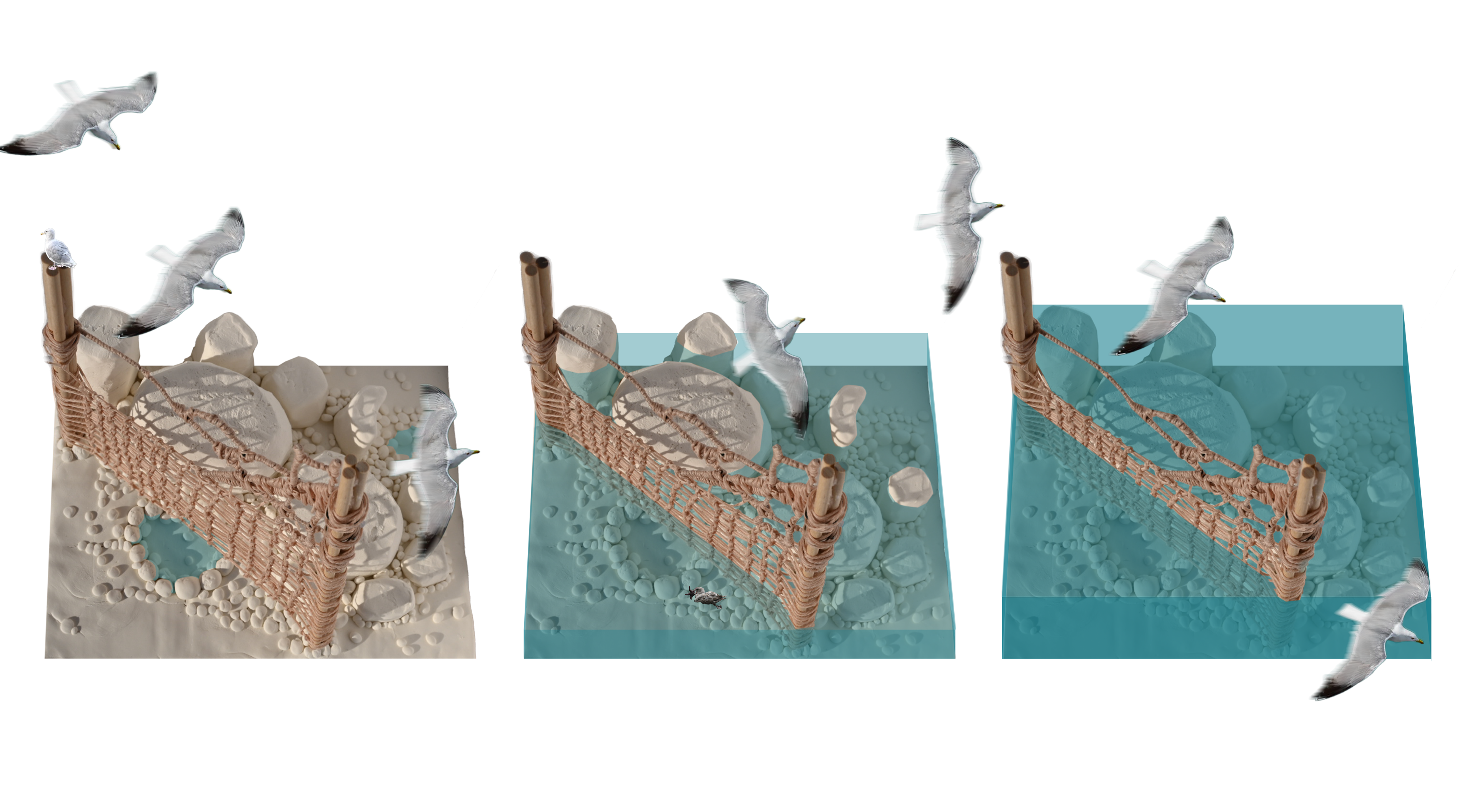
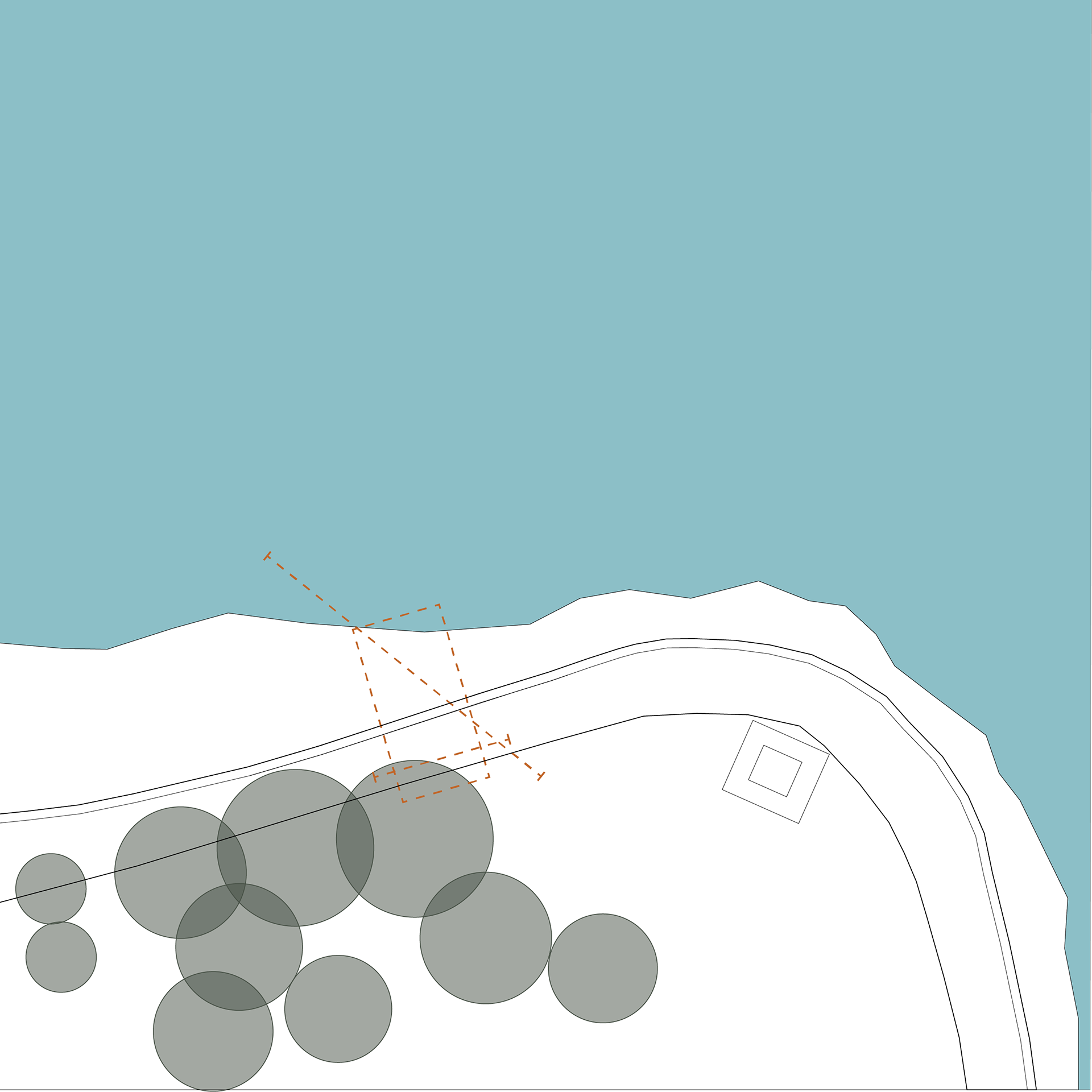
ILLUSTRATION OF RISING SEA LEVELS WITH SITE MODEL (ILLUSTRATOR AND PHOTOSHOP)